Salt River, April 29, 2010
|

The Salt River flows down from Roosevelt Lake through a series of reservoirs to and through the city of Phoenix. It is running very high this spring. I am processing three Gigapan panoramas taken along the river that will be addd to this display soon.
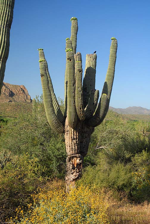
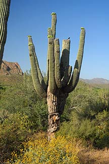 This Saguaro is just starting to bloom. The Saguaro Blossom is the State Flower of Arizona.
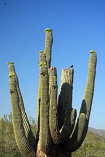 Each Saguaro flower blooms for just one day. The blossoms open at night and are often pollenated by bats.
 Mesquite and Palo Verde Trees grow thickly along the river.
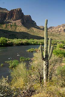
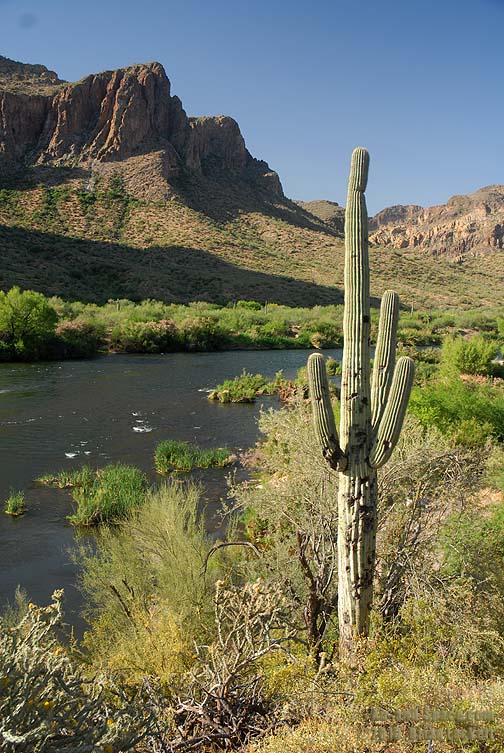
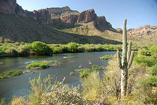 The Salt River winds through Buldog Canyon below Stuart Mountain Dam and Saguaro Lake.
 This Saguaro is just starting to bloom. The Saguaro Blossom is the State Flower of Arizona.
 Each Saguaro flower blooms for just one day. The blossoms open at night and are often pollenated by bats.
 Mesquite and Palo Verde Trees grow thickly along the river.
 The Salt River winds through Buldog Canyon below Stuart Mountain Dam and Saguaro Lake.